Life on the Path

On the Trail

What it’s really like to walk the Shepherd’s Trail — from finding your way and reading the terrain, to the springs, flocks, guesthouses and rhythms of daily life along the ancient routes of transhumance.

192 km
Total distance
12 days
Stages
2,523 m
Highest point
Konispol → Mt. Gramoz
Route

What to expect

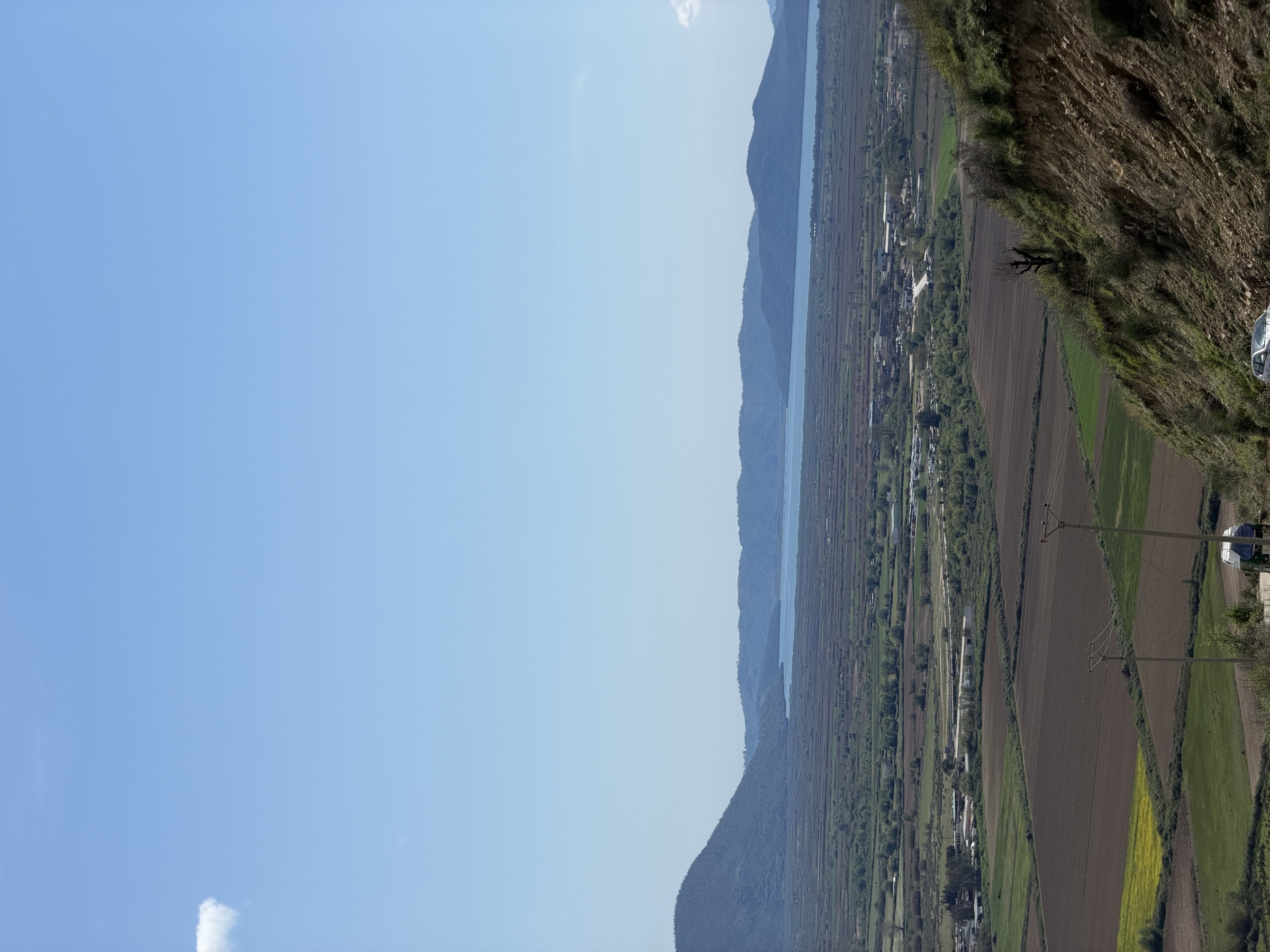
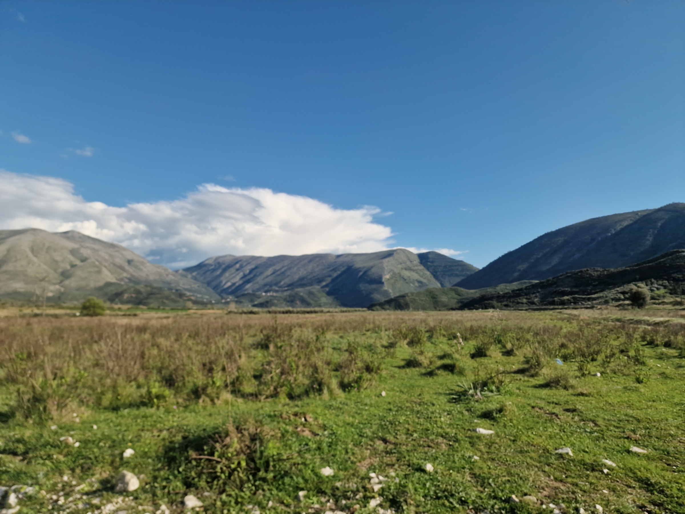
A long walk through a living landscape

The Shepherd’s Trail is a serious but achievable long-distance route that follows the paths flocks have taken for generations. It rewards self-sufficiency and an early start — here’s what to know before each day on the path.

Waymarking & navigation

The full route is mapped as a GPX track for every stage, plus the roadbook waypoints. On the ground the path mixes old shepherd trails, dirt roads and open mountainside, so a phone or GPS with the tracks loaded is your most reliable companion — download them before you set off, as signal is patchy in the high country.

Terrain & landscapes

The trail climbs slowly from the Mediterranean: olive groves and sage-scented hills near the Ionian coast give way to river valleys, beech forest and, finally, exposed alpine ridges. Early stages are gentle; the last few are long, steep and remote, with real ascent and descent.

Shepherds & sheepdogs

This is a living pastoral landscape. You'll share the paths with flocks and the large guardian dogs that protect them. Give the herd a wide berth, stay calm, never run, and let the shepherd call the dogs off — a walking pole and a steady voice are usually all you need.

Food & water

Springs and fountains punctuate most stages, but carry at least two litres and top up whenever you can — the high, dry stages have long gaps. Guesthouses serve hearty home-cooked meals; for remote sections pack lunch and snacks, as there are no shops between villages.

Where you'll sleep

Family guesthouses, farmstays and simple village rooms line much of the route, offering warm beds and mountain hospitality. A handful of remote stages need a short transfer to the nearest village or a night of wild camping — these are flagged stage by stage in the roadbook.

Getting between stages

The trail is designed to be walked end to end, but it's easily broken into shorter sections. Local drivers can shuttle you to trailheads, skip a transfer stage, or carry luggage between guesthouses, making the route accessible for a range of fitness levels and time budgets.

Highlights along the way

Moments worth the climb

  • Çuka e Ajtoit — a 4th-century BC hill castle looking out to Corfu
  • Cave churches and frozen-in-time stone villages of the south
  • The dramatic gorges and clear rivers of the Drinos valley
  • Eagles and vultures riding the thermals over open ridgelines
  • Spring meadows of wild orchids, sage and swallowtail butterflies
  • The summit of Mt. Gramoz (2,523 m) — the roof of the south
A valley along the Shepherd's Trail

Walk gently

The villages and pastures along the trail are home and workplace to the people who keep these mountains alive. Carry out everything you carry in, close gates behind you, buy local where you can, and ask before photographing people or their flocks. Your visit helps keep transhumance — and these paths — alive.

Ready to plan your days?

Explore the twelve stages in detail, with maps, profiles and downloadable GPX tracks.

View the 12 stages