Southern Albania

The Twelve Stages

The complete stage-by-stage guide to the Shepherd’s Trail — from the tangerine groves of Konispol to the 2,523-metre summit of Mt. Gramoz. Routes, numbers, places to sleep, and a downloadable GPX track for every stage.

192km
total distance
12
stages
~9,000m
total ascent
2,523m
highest point

Download the whole trail

The complete route as a single GPX, plus all roadbook waypoints.

Konispol — Shkallë
Stage 1

Konispol — Shkallë

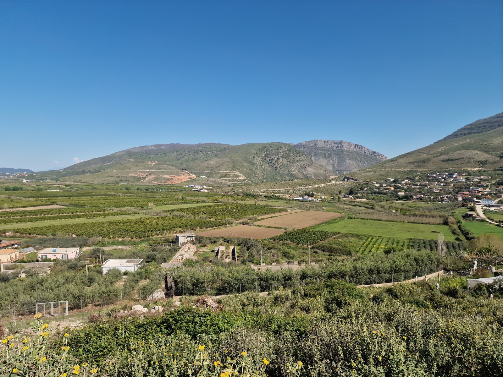
Konispol · Çuka e Ajtoit · Shkallë

Easy
8 km120 m340 m3 h

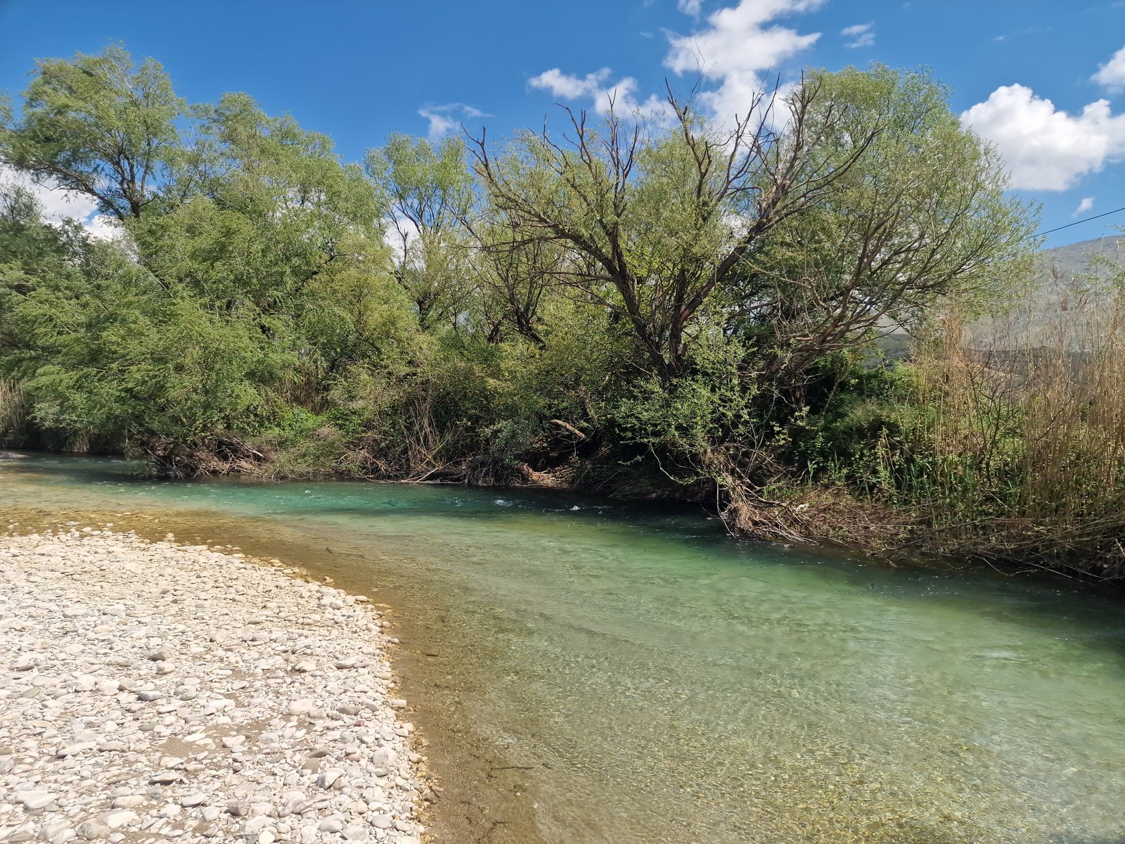
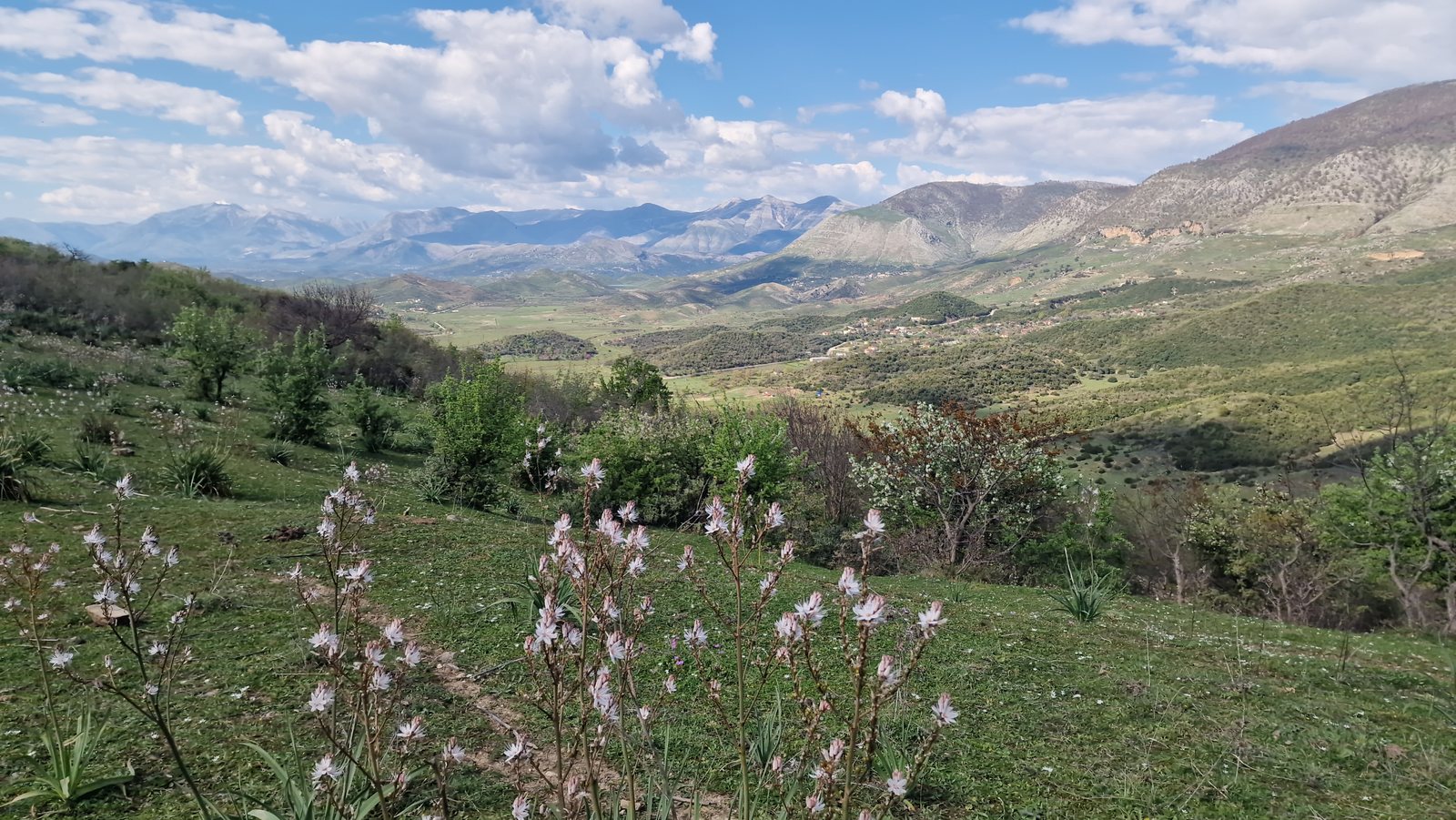
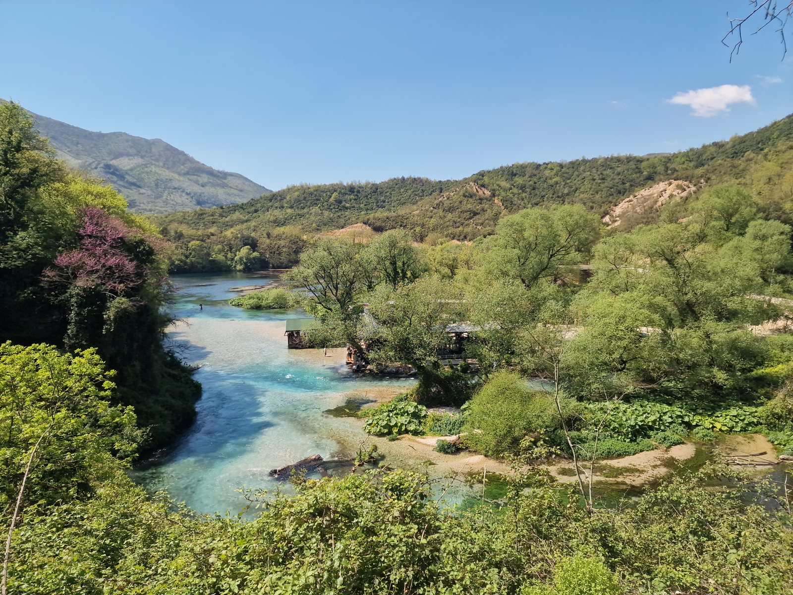
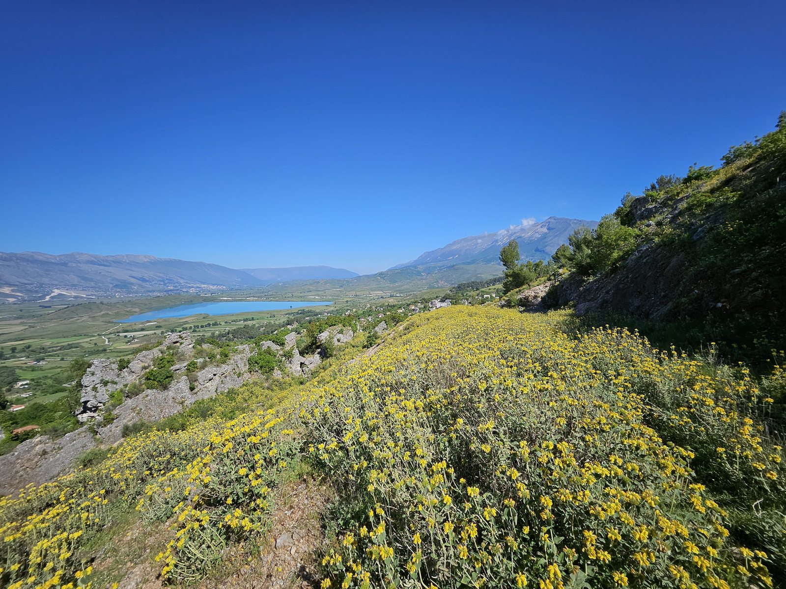
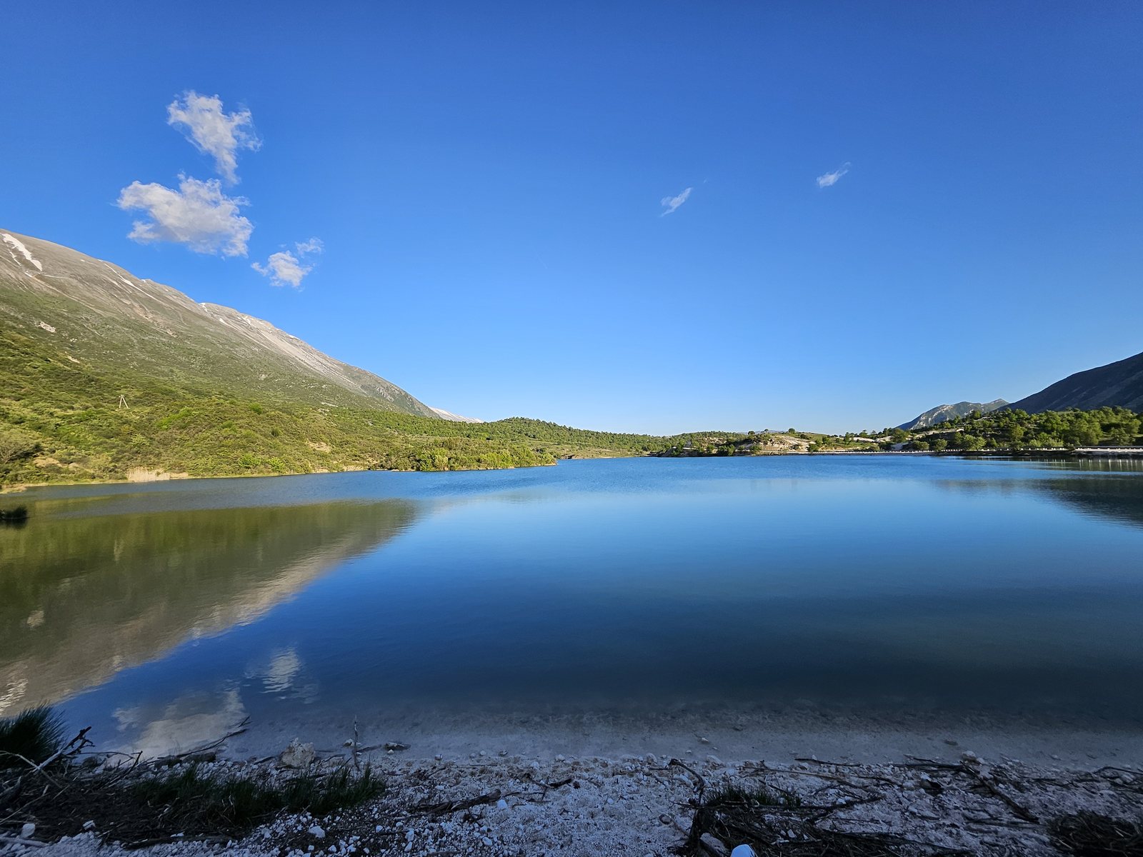
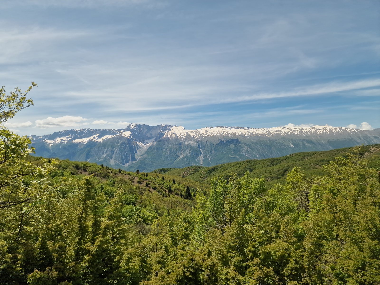
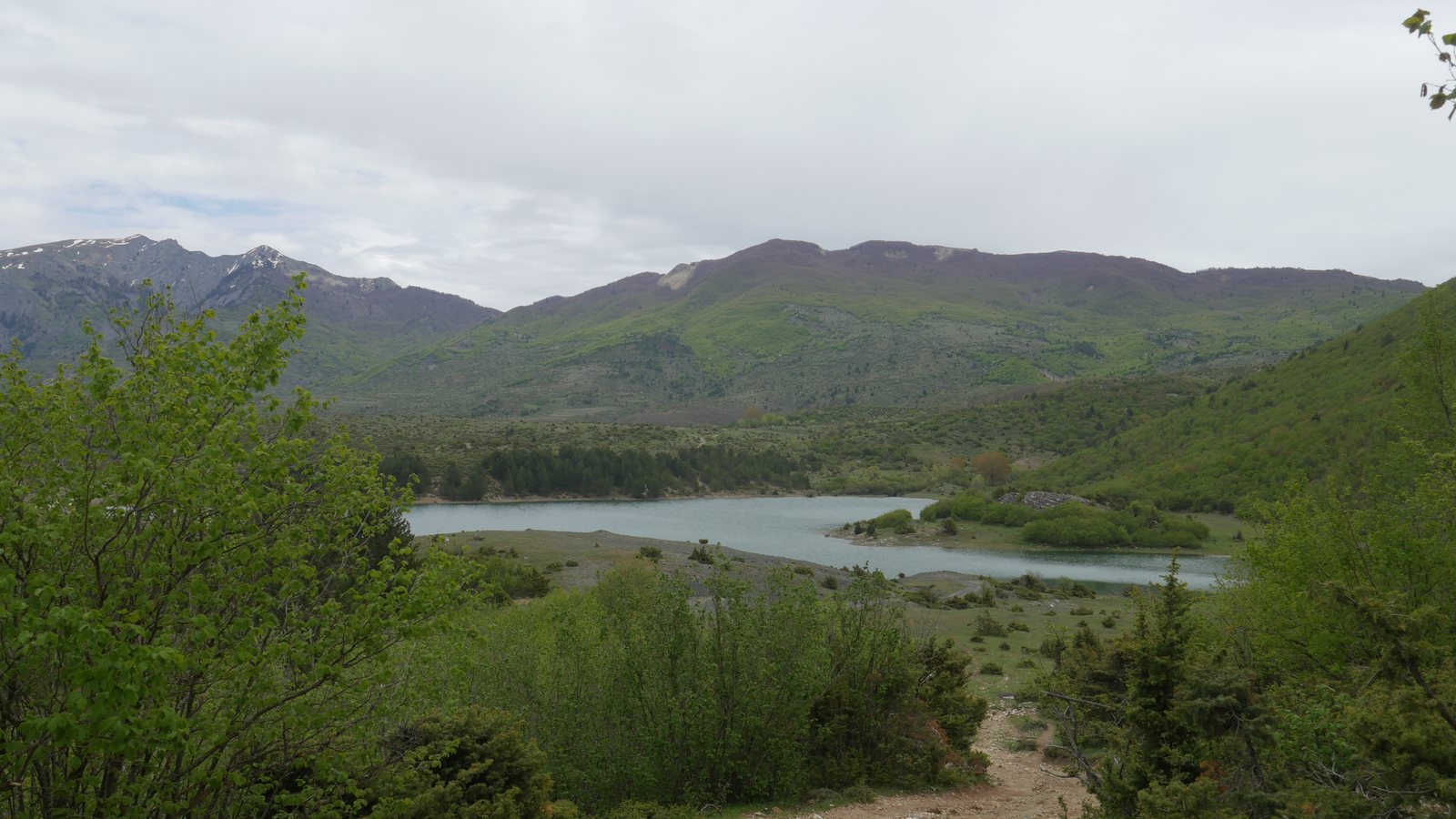
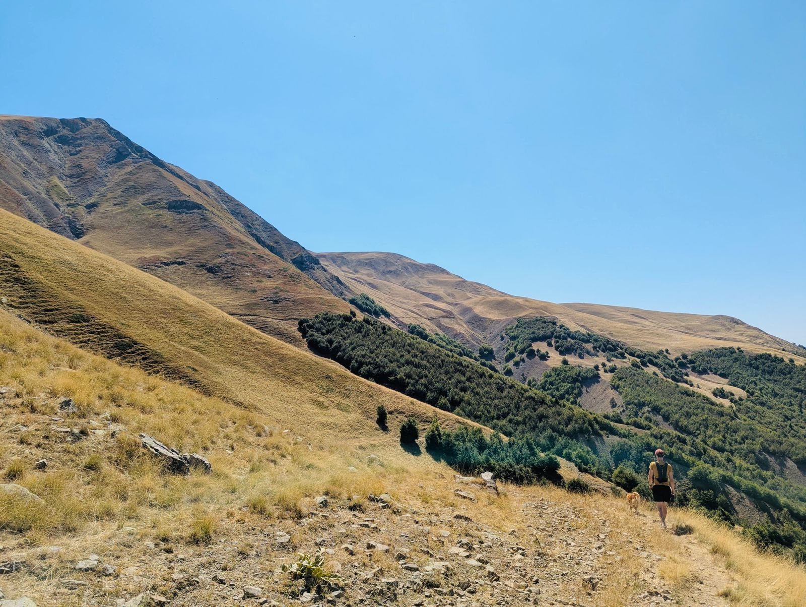
This stage marks the symbolic beginning of transhumance, starting from the southernmost tip of the country in the small town Konispol — the city of tangerines. It is a short, relaxed trail that takes you back in time, connecting a Mediterranean landscape filled with the scent of sage and olive groves, with the earliest evidence of human life in the region. It is here where, as the warmer temperatures set in and the grass yellows, shepherds and their flocks make their way towards the lush pastures of the southern giants Mt. Nemerçka (2,482 m), Mt. Dhëmbel (2,050 m) and Mt. Gramoz (2,523 m).

Shkallë — Livadhja
Stage 2

Shkallë — Livadhja

Shkallë · Gryka e Bogazit · Livadhja

Easy
16.5 km360 m350 m5 h

This stage is characterized by low altitudes and a typical Mediterranean landscape — a footpath wedged in between old mountains, accompanied by a meandering, blue river. Unlike alpine heights, the trek here unfolds across gentle terrain that follows the flow of the Pavlla River and penetrates the Bogaz Gorge. Along the way, encounters with sheepfolds and orchards filled with oranges and lemons create an idyllic atmosphere, typical of Albania's southernmost region. Another slow-paced day where nature is woven with the local life.

Livadhja — Navaricë
Stage 3

Livadhja — Navaricë

Livadhja · Llazat · Kalcat · Memoraq · Navaricë

Easy–Moderate
18 km730 m550 m6 h

This 18 km stage connects the Livadhja area with the Navaricë highlands, passing through several villages of the South. The itinerary is of light difficulty and focuses on rural heritage (meadows, cave churches) and the rugged mountain landscape in the background. The hike takes approximately 6–7 hours and takes place primarily on pedestrian trails and village roads. It carries you out of the gentle citrus lowlands and into terrain that begins to assert itself — valleys deepen, ridgelines sharpen, and the villages grow quieter and further apart.

Navaricë — Blue Eye Spring
Stage 4

Navaricë — Blue Eye Spring

Navaricë · Navaricë Pass · Krongji · Syri i Kaltër

Easy
12 km540 m620 m4 h

This short 12 km stage serves as a transition from the Navaricë highlands toward the Blue Eye (Syri i Kaltër) natural park. The hike takes about 4 hours and has a light difficulty level. It is characterized by village roads, the upper grazing lands of Navaricë pass and the shade of plane trees, concluding at one of the area's most stunning and visited natural monuments, the “Blue Eye” karst spring and lake.

Blue Eye Spring — Fushë Nepravishtë
Stage 5

Blue Eye Spring — Fushë Nepravishtë

Blue Eye · Muzinë · Qafa e Muzinës · Grapsh · Fushë Nepravishtë

Easy–Moderate
15 km640 m550 m5 h

This stage climbs the ridge above the Blue Eye, and reaches Muzinë Pass near the village of Muzinë. After crossing the pass, the trail descends to Grapsh via an old cobbled pathway. It continues through the Drinos Valley plains, arriving at Fushë Nepravishtë. This is a generally easy itinerary, with a moderate elevation gain and loss. The highest point reaches around 560 m above sea level. The trail takes approximately six hours to complete.

Fushë Nepravishtë — Labovë e Kryqit
Stage 6

Fushë Nepravishtë — Labovë e Kryqit

Fushë Nepravishtë · Nepravishtë · Libohovë · Labovë e Kryqit

Moderate
16.5 km790 m500 m7 h

This stage is a moderate hiking route through the foothills of the Lunxhëria Mountains, above the Drino Valley in southern Albania. The route follows a combination of dirt roads, old mule tracks, narrow shepherd paths, and short cobbled or gravel sections near the villages, each one with its own landmarks telling stories of life and worship through generations. Between the ridge sections and the approach to Libohovë, hikers encounter narrow traverses that offer an alpine feeling. Every village has freshwater sources.

Labovë e Kryqit — Sheper
Stage 7

Labovë e Kryqit — Sheper

Labovë e Kryqit · Selckë Gorge · Sheper

Easy–Moderate
17 km750 m400 m6 h

This is an easy-to-moderate mountain traverse through the Zagoria region of southern Albania, taking you deeper into the mountains and the mountain pastures of the Nemërçka–Dhëmbel Range. The route follows historic mule tracks, shepherd trails, forest roads, and short gravel connectors, with long stretches of isolated terrain and limited infrastructure between villages. From Labovë, the trail passes through orchards and vineyards, then descends into the Selckë Gorge before climbing the old shepherd path to Sheper.

Sheper — Leusë
Stage 8

Sheper — Leusë

Sheper · Dhëmbel Pass · Leusë

Demanding
10 km700 m1140 m6.5 h

This historic route connects the Drinos valley with the Vjosa valley and the villages of Përmet, and has been doing so for centuries. The route ascends towards Dhëmbeli Pass, following the deep cut valley between Mount Dhëmbel and Mount Nemërçkë. On top of the pass, far-reaching views over to the Pindus Mountains in Greece appear, and the mighty Mt. Gramoz — the end point of the Shepherd's Trail — thrones in the background. The pass is also the summer pasture of a gigantic flock of over 800 sheep. From there, a steep, demanding gravel trail descends to the picturesque village of Leusë.

Leusë — Delvinë
Stage 9

Leusë — Delvinë

Leusë · Lëshicë · Badëlonjë · Petran · Ogdunan · Delvinë

Moderate
18.5 km1060 m570 m7 h

The trail winds through pine forests, vineyards, and olive groves, providing panoramic vistas of the surrounding peaks and the river valley below. It is common to encounter shepherds with their flocks, as well as mules which are still used for transport in the area.

Delvinë — Sanjollas
Stage 10

Delvinë — Sanjollas

Delvinë · Mehmeti's Plateaus · Murrizi Pass · Igra Meadows · Sanjollas

Demanding
22 km870 m990 m8 h

The longest and most untamed stage of the Shepherd's Trail — 22 kilometres through terrain that belongs, for most of the year, to no one but the mountain itself. It is a grand crossing from the Vjosa valley towards the high plateau of the Kolonja (Ersekë town) region, with the mighty Gramoz appearing en route. At around 8 hours of walking, this stage is a full day in the wilderness, one that gradually strips away every trace of the settled world. The only signs of human presence are the shepherd's huts scattered across the grazing land, occupied briefly each summer when the flocks come up from the valleys below.

Sanjollas — Rehovë
Stage 11

Sanjollas — Rehovë

Sanjollas · Barmash · Gjonç · Rehovë

Moderate
18 km890 m560 m6.5 h

This stage walks you through the high heart of the Kolonja region — a long arc across open pastureland, juniper slopes, and ancient village roads with the massive wall of Gramoz growing steadily ahead of you and the Nemërçka–Dhëmbel range filling the sky at your back. It is a stage of grand vistas and quiet village life in equal measure: reservoir lakes hiding on the hillsides, herds of cows grazing beside stone paths, the colourful village of Gjonç clinging to its slopes with views that stretch across two mountain ranges and down to Ersekë, the highest town in Albania.

Rehovë — Mt. Gramoz
Stage 12

Rehovë — Mt. Gramoz

Rehovë · Starje · Maja e Gramozit

Demanding
21 km1900 m1900 m12 h

The grand finale — the ascent of Mt. Gramoz (2,523 m), the southern giant and the end point of the Shepherd's Trail. A long, demanding day of nearly 1,900 m of climbing rewards you with the summit panorama before the long descent to Starje. After twelve days afoot, the journey from the Ionian shore is complete.